Cloudy Secrets: How Nature's Canvas Reveals Tomorrow's Weather
The Fascinating World of Cloud Formations
As a meteorologist, I've spent years marveling at the incredible diversity and dynamic nature of clouds. These ethereal atmospheric sculptures are far more than just beautiful sky decorations—they're complex scientific phenomena that tell fascinating stories about our planet's weather patterns.
Cloud formations range from ground-hugging fog to wispy, high-altitude cirrus clouds, each with its own unique characteristics and formation process. These atmospheric artists are created through intricate interactions of temperature, humidity, air pressure, and wind currents.
Understanding Cloud Types
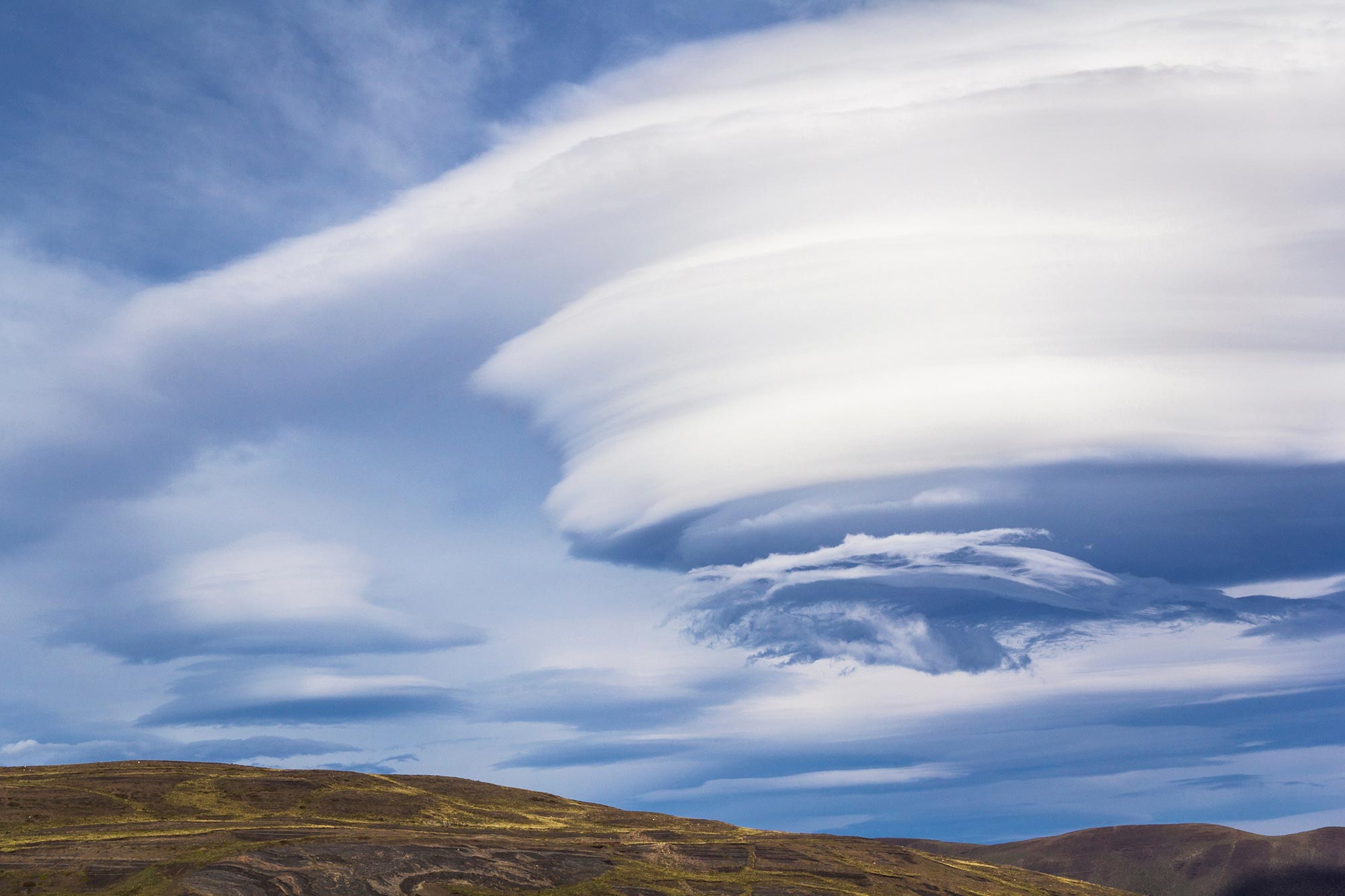
Different cloud types offer meteorologists crucial insights into upcoming weather conditions. Low-lying stratus clouds might signal calm, stable weather, while towering cumulonimbus clouds can indicate imminent thunderstorms. Cirrus clouds, those delicate, feather-like formations high in the sky, often precede weather system changes.
The Science Behind Cloud Formation
When warm, moisture-laden air rises and cools, water vapor condenses around tiny particles like dust or salt, creating visible cloud structures. The altitude, temperature, and atmospheric conditions determine each cloud's unique shape, size, and potential weather implications.
By carefully observing and analyzing cloud formations, meteorologists can predict everything from gentle rain showers to severe storm systems, making clouds nature's own weather forecasting system.